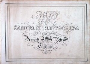
Following his succession to the Seskinore estate, Samuel McClintock commissioned a detailed survey of the property in 1846.
This survey, preserved in the Public Record Office of Northern Ireland (PRONI, D586), provides one of the most comprehensive records of the extent and structure of the estate at that time.
The Estate Survey
The 1846 map, bound into a large volume, records the townlands, divisions, and organisation of the estate in detail.
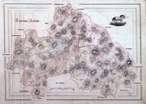
It represents the first complete visual and administrative account of the property following its transfer into the McClintock family.
Extent of the Estate
Subsequent legal records, including a Chancery decree of 1854, confirm the scale of the estate and list the principal townlands included within it.
These included:
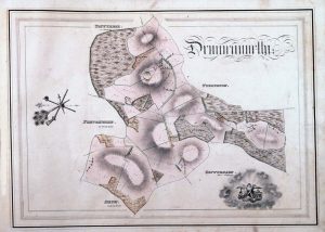
• Drumconnolly
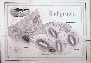
• Tullyrush
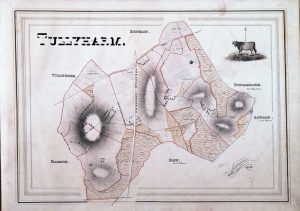
• Tullyheron [sic]
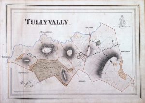
• Tullytemple [sic]
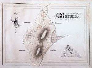
• Rarone
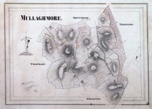
• Upper and Lower Mullaghmore (including the mansion house)

• Moylagh
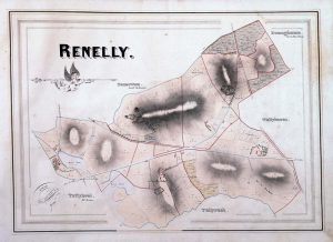
• Ranelly [sic]
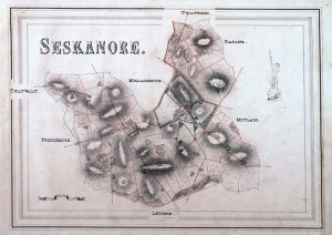
• Seskanore [sic]
Additional lands extended beyond the immediate district into other baronies, demonstrating the considerable scale of the holdings

- Armagh Corporation
Significance
The 1846 estate map is significant for several reasons:
• It provides a definitive record of the estate under McClintock ownership
• It illustrates the continuity of earlier Perry lands within the new ownership structure
• It confirms the scale and organisation of the estate in the mid-nineteenth century
Together with the 1854 Chancery record, it establishes the McClintock estate as comprising over 4,500 acres.
Public Record Office of Northern Ireland — Estate Maps
Following the death of Captain Joynson-Wreford in 1940, the contents of Seskinore House appear to have been dispersed during the subsequent winding down of the estate.
A later article written in approximately 1949 refers to the acquisition of a bound volume of estate maps dating from 1846:
“when the goods and effects of Seskinore Lodge, the former residence of the late Colonel J. K. McClintock, D.L., were disposed of.”
Although the article refers to Colonel John Knox McClintock, this likely reflects the continued association of the house with the McClintock family in public memory rather than indicating the date of the dispersal itself.
No complete auction catalogue or formal record of the sale has yet been identified, though surviving recollections suggest that a dispersal of the contents of the house took place during the 1940s.
The maps referred to in the article survive within the collections of the Public Record Office of Northern Ireland:
PRONI Reference: D568
Maps of the Estate of Samuel McClintock, Esq., situate in the Corporation of Armagh, Co. Armagh and the Manor of Seskinore, Co. Tyrone, by Robert Wilson (1846).
It is hoped that further information relating to the dispersal of the contents of Seskinore House may emerge in future.
Source
PRONI D586 (Seskinore Estate Map, 1846)
Chancery records (1854)
See Also: